


Not include shipping cost.
LINK-PP LPJ1075-1BHNL 100% Cross RTA-110AHQ1A UDE
United States
Carrier
CostDelivery TimeTracking
DHL
$ 31.97 3-7 daysAvailable
Fedex IP
$ 44.07 3-7 daysAvailable
DHL自定义
$ 51.37 3-7 daysAvailable
UPS Express Saver
$ 94.28 3-7 daysAvailable
1080P 10km 3D Mapping Drones Foldable Land Mapping Drone Customized
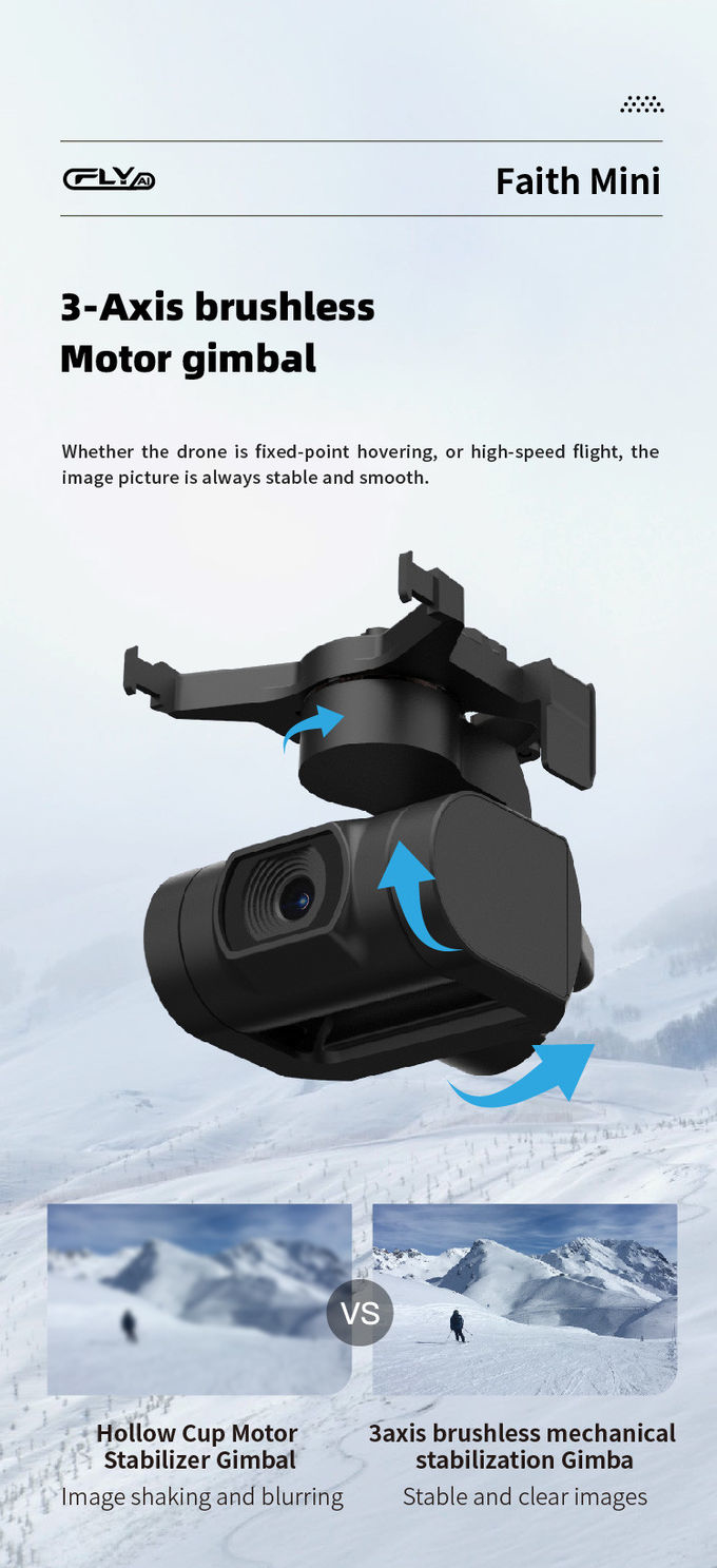
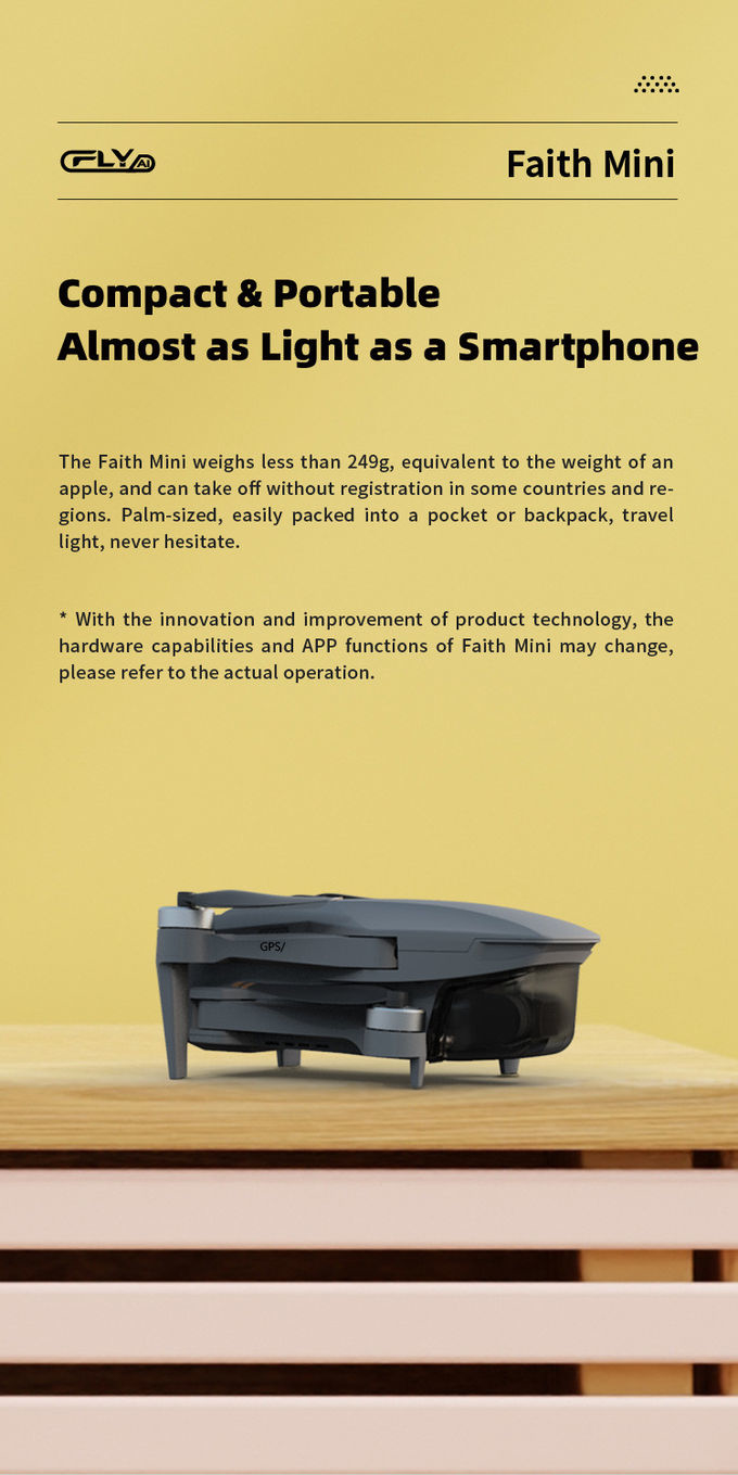
3D Mapping Drones are unmanned aerial vehicles (UAVs) specifically designed for three-dimension mapping and surveying, providing users with a wealth of geographical information for a variety of applications. These drones are equipped with advanced features that enable them to capture detailed aerial images with great accuracy and efficiency. With a wheelbase of 600mm and a foldable design, they are highly portable and can be easily taken to any location. The 3-axis gimbal ensures stable flight and precise control while the camera is capable of capturing high-quality JPEG photos. The operating temperature range of -5 to 40℃ makes them suitable for use in various environments. Furthermore, the drones provide a flight time of 40 minutes with no load and 29 minutes with full load. 3D Mapping Drones are the perfect choice for three-dimension mapping and surveying and are ideal for a wide range of applications.
| Parameter | Value |
|---|---|
| High-Resolution-Surveying-Drones | Yes |
| Topographical-Mapping-Drones | Yes |
| 3D-Mapping-Drones | Yes |
| Operating Temperature Range | -5-40℃ |
| Wheelbase | 600mm,foldable |
| Satellite Positioning Systems | GPS/GLONASS |
| Max Service Ceiling Above Sea Level | 5000m |
| Maximum Ascend Speed | 5m/s |
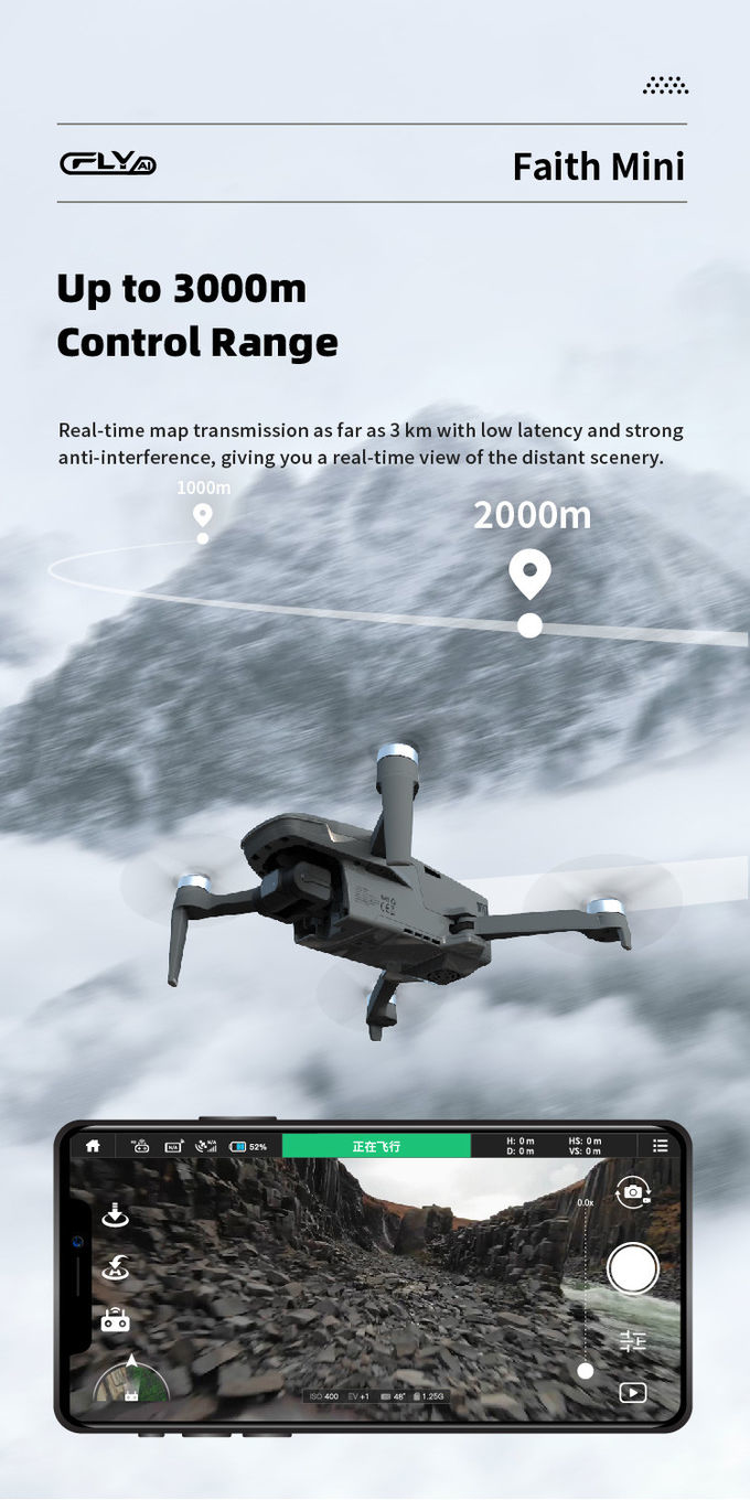
| 4G Extended Image Transmission | Global 4G Image Transmission, Unlimited Distance |
| Maximum Decsend Speed | 4m/s |
| Image Size | 3840*2160 |
| Battery | 2100mAh |
| Flight Time | 40mins(no Load),29mins(full Load) |
3D Mapping Drones are high-resolution surveying drones, aerial photogrammetry mapping drones and robotic mapping aircrafts that are essential for a range of surveying, mapping and inspection tasks. These drones are designed to be stable, accurate and reliable in order to meet the demands of precision mapping and surveying applications. Faith mini 3D Mapping Drone is equipped with GPS/GLONASS satellite positioning systems, 1080P maximum distance, -5-40℃ operating temperature range, 2100mAh battery, and 3-axis gimbal, and it is capable of providing high-precision surveying and mapping services with accuracy and efficiency. It has a model number Faith mini, place of origin China, minimum order quantity 1 pcs, negotiable price, standard packages, 3-7 work days delivery time, payment terms of L/C, D/A, D/P, T/T, Western Union, and supply ability of 100,000 pcs per month.
This customized service is for our 3D Mapping Drones, Faith mini. It is designed for aerial photogrammetry mapping and is equipped with features like:
The 3D Mapping Drones is perfect for aerial photogrammetry mapping.


Aerial Photogrammetry Drone Foldable 3D Scanning Drone For Topographic Survey

3D Aerial Photogrammetry Drone / Land Mapping Drone With 3 Axis Gimbal

High Capacity 5 Km Range Remote Control RC Drone With 3 Axis Gimbal Camera HK-DF816D

1 Sold

Aerial Inspection Drone Surveying And Mapping 4m/s Professional Photography Drones

Mapping And Surveying Drones , Professional Drones For Surveying

white Custom 3 Axis Gimbal Camera Drone For Construction Industry HK-DF846D

High Range Aerial Survey Drone 17m/s Foldable 2 Axis Gimbal Drone HK-DF809G

3 Axis Gimbal Load Bearing Drone 4m/s Cargo Carrying Drone Foldable

Powerful Heavy Load Carrying Drone 1080P 10km High Performance Drone

Aerial 3D Mapping Drones Foldable for Land Surveying

Faith Mini 3D Mapping Drones Land Surveying Drone For Aerial Mapping
1 Sold

Precision Agriculture Drone 1080P 10km Environmental Monitoring Drone Remote Sensing

Long Distance Heavy Lifting Drone Heavy Payload Drone With 29 mins Full Load Flight Time HK-DF816D

Foldable 3D Mapping Drones For Topographic Mapping 3840*2160 HK-DF8166D

2100mAh 3D Mapping Drones Versatile Imaging Topographic Mapping Drone
